High-Elevation Baking in Durango: Why Recipes Fail (and Fixes)
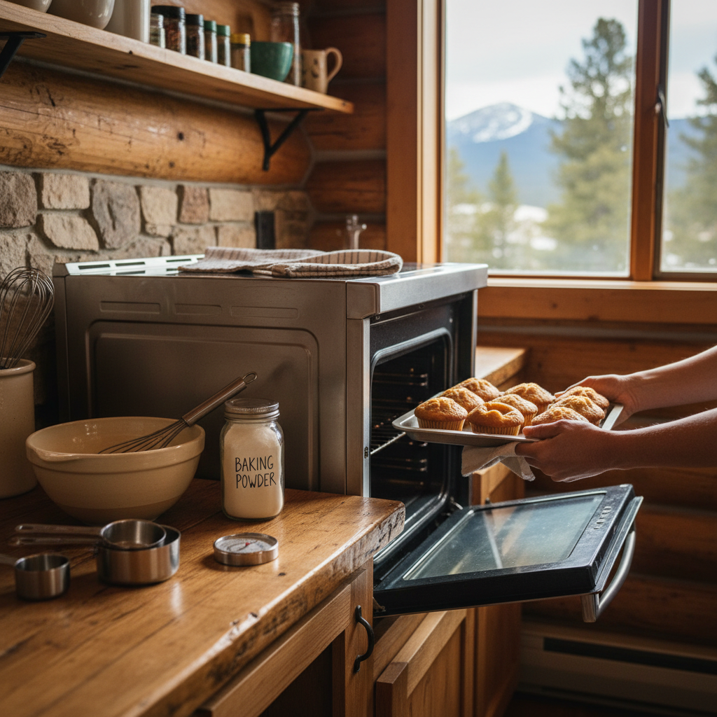
Baking in Durango’s 6,000–6,500 ft elevation can make muffins sink, dough overproof, and pastries dry out fast—this cheat sheet gives you quick temperature, timing, and ingredient fixes that work in a cabin or RV kitchen.
Durango’s Standout Charcuterie Boards: Local Meats, Cheeses & Pickles
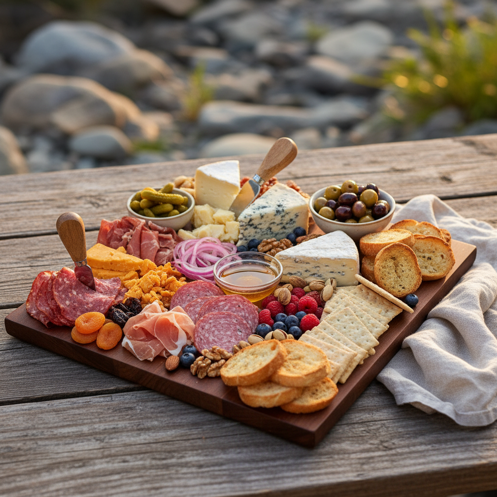
Find Durango’s most worth-it charcuterie boards (plus what’s on them, how to pair them with wine/beer/cider or NA sips, and simple to-go picnic tips for enjoying a travel-proof spread riverside at Junction West on the Animas River.
Mesa Verde App: Offline Maps for Dead-Zone-Proof Navigation
Download the right Mesa Verde offline maps on Junction West Wi‑Fi, test them in airplane mode, and use simple GPS, battery, and no-service habits to keep your family confidently on track all day.
Mesa Verde Water Sources: Seeps, Reservoirs, What to See
A family-friendly field guide to Mesa Verde water sources—seep and spring clues, engineered reservoirs, what you can still observe from trails, and simple Durango-based tips for a safe, comfortable day in the high desert.
Animas River Tubing Durango: Best Put-Ins, Takeouts, Safe Water Levels
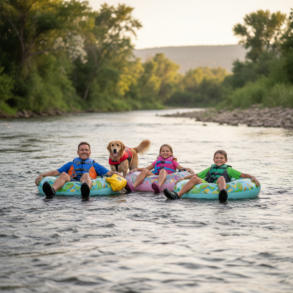
A safety-first, family-friendly guide to Animas River tubing in Durango with the easiest put-ins and takeouts (Rec Center to 9th Street), the key CFS number to watch (under 800 in July/August), and practical tips to avoid hazards, Smelter Rapids, and shuttle chaos.
Durango Trail Aspect Guide: North vs South, Snow, Mud, Shade
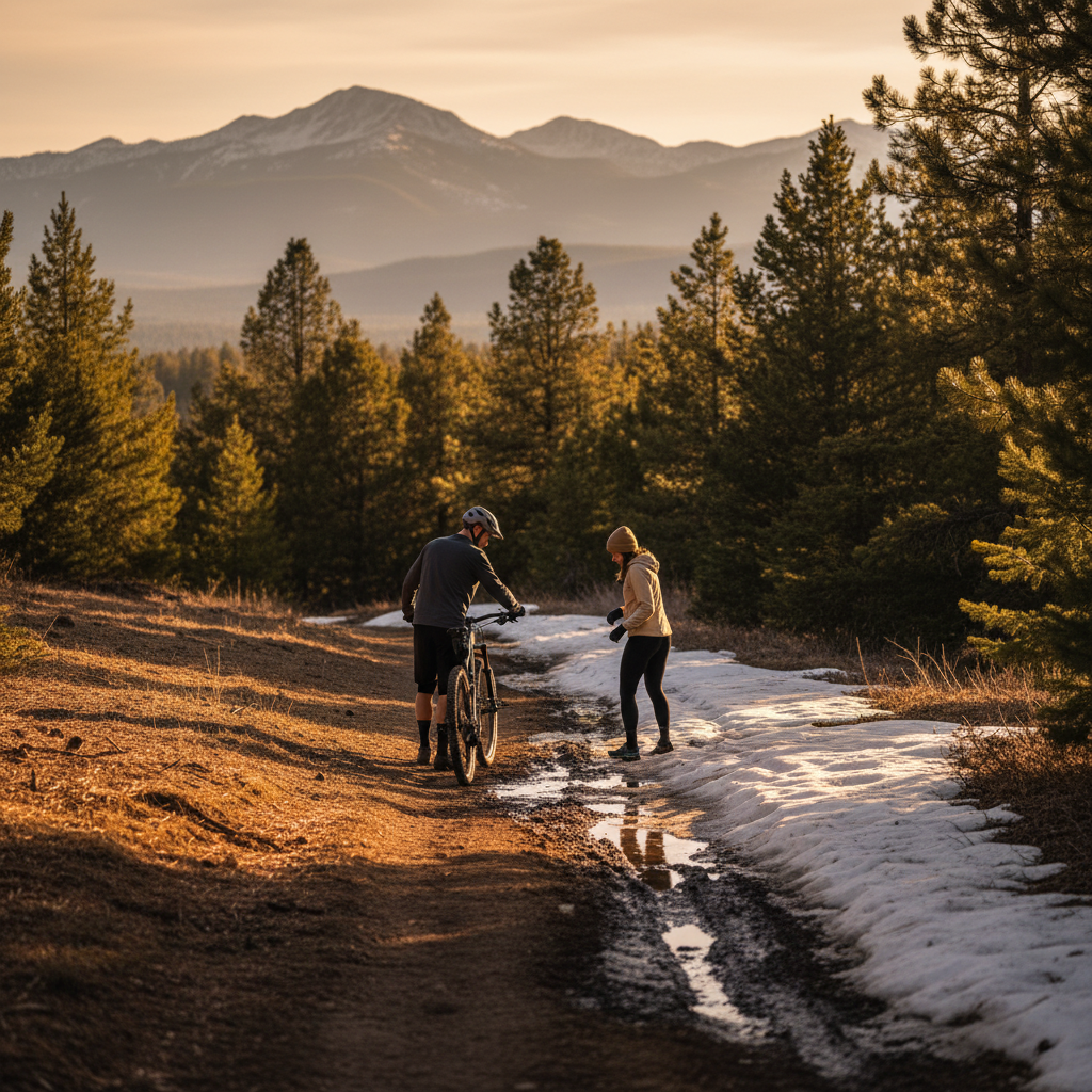
Learn how trail aspect (north vs. south facing) predicts Durango snow, mud, and shade so you can pick a better route today with quick rules, a 60-second trailhead test, and simple freeze–thaw timing that protects your ride and the trails.