

Read Durango Sanborn Fire Insurance Maps: Footprints & Uses
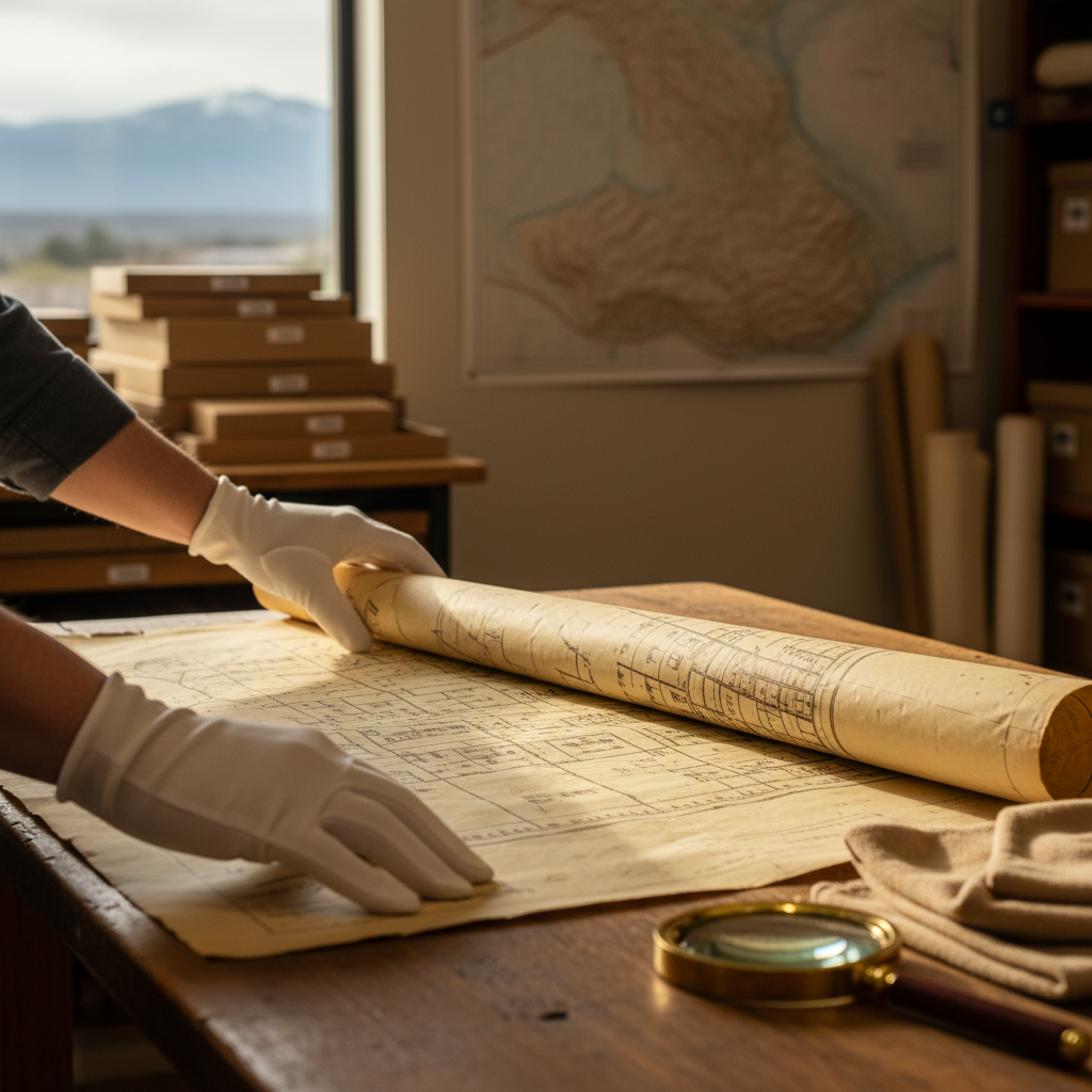
Time-travel through downtown Durango with the 1910 Sanborn Fire Insurance Maps—learn to find the right sheet fast, match it to today’s streets using the Animas River and railroad as anchors, and read building footprints and labels to spot historic hotels, shops, saloons, and stables on purpose.
D&SNGRR’s Needleton Flag Stop: Where Backcountry Legends Begin
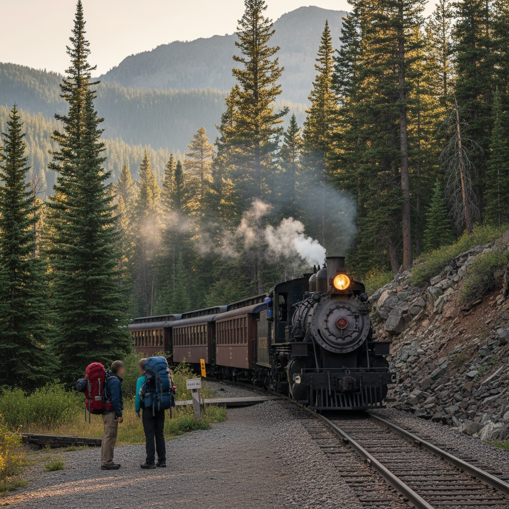
Ride the Durango & Silverton Narrow Gauge Railroad to Needleton Flag Stop, learn how the wave-down “flag stop” really works, and follow a clear, Durango-based plan for a safe, memorable backcountry day in the Animas Canyon.
D&SNG Whistle Signals: The Secret Language Still Guiding Crews
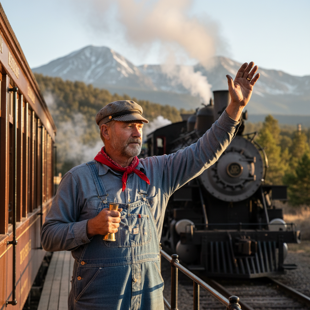
Learn the “secret language” behind the Durango & Silverton Narrow Gauge Railroad’s whistle signals—especially the famous two long, one short, one long crossing pattern—plus simple, family-friendly tips on what the sounds generally mean and where to listen safely around Durango.
Sunset Hot Air Balloon Flights? Discover Animas Valley’s Dawn Magic
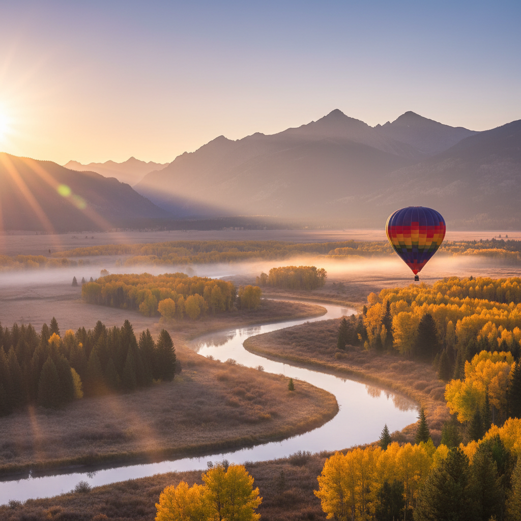
Discover why Durango’s balloons lift off at dawn, how to book a safe sunrise ride, and how Junction West puts you minutes from launch to glow-filled celebration.
Animas Forks Ghost Town Milky Way Night Photography Adventure

Plan the ultimate Milky Way photo quest from Junction West to Animas Forks with step-by-step drive details, altitude hacks, camera settings, and ghost-town etiquette for an unforgettable high-alpine night shoot.
Durango’s Hidden Murals: Download Your Downtown Street Art Map
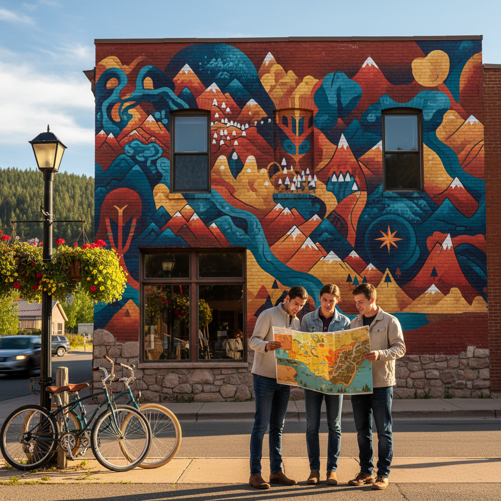
Bike, bus, or stroll from Junction West Durango Riverside Resort to a four-mile, family-friendly downtown mural loop packed with photo tips, parking hacks, and hidden art stories.